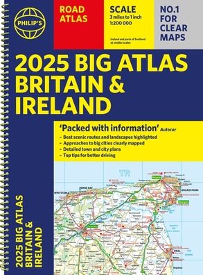
2025 Philip's Big Road Atlas of Britain & Ireland: (A3 Spiral Binding)
Thank You For Your Reservation
You will receive an email once your order is confirmed. Items will be held for 7 days before being returned to inventory.
2025 Philip's Big Road Atlas of Britain & Ireland: (A3 Spiral Binding)
Other Format
Prices may vary by store.
Select Store
Picking Up At:
Colfax Ave.
2526 E Colfax Avenue
303-322-7727
Store Hours:
Mon-Sat: 10-8
Colfax Ave.
2526 E Colfax Avenue,
Denver, CO 80206
303-322-7727
Store Hours:
- Mon-Sat: 10-8
- Sunday: 10-6
Aspen Grove
7301 South Santa Fe Drive,
Littleton, CO 80120
303-470-7050
Store Hours:
- Mon-Thu: 10-7
- Fri-Sat: 10-8
- Sunday: 11-6
Union Station
1701 Wynkoop Street in
Historic Lower Downtown Denver
303-535-9980
Store Hours:
- Every Day 8-8
Stanley Marketplace
2501 Dallas Street, Suite 144,
Aurora, CO 80010
212-697-3048
Store Hours:
- Every Day 10-7
After completing your reservation, you'll receive an email when your order is ready. Items will be held for 7 days before being returned to inventory. Payment will be due at pickup. By providing the information below you agree to Barnes & Noble's Privacy Policy which can be viewed here.
An error occurred while reserving your item. Please try again later.
Format: Other Format
PHILIP''S is No. 1 in the UK for clear maps. The latest 2025 Philip''s Big Road Atlas of Britain and Ireland, in a supersize large format, has fully updated mapping from the Philip''s digital database alongside all the detail and information needed for successful travel.
* Top driving tips for safety and skill including how to parallel park
* The best scenic routes, natural features and landscape highlighted for enhanced travelling
* Practical ''more to view per page'' A3 size
* Main scale of maps: 3 miles to 1 inch = 1:200,000 for ease of use
* Route-planning section for the easiest navigation
* Special wide-vehicle access indicators for rural areas
* 64 fully indexed and detailed town and city plans
* City approach maps with named roads for the best access with the latest ULEZ clearly outlined
* Clear road map showing all of Ireland
2025 Philip''s Big Road Atlas of Britain and Ireland contains 96 pages of road maps covering Britain at 3 miles to 1 inch (Scottish Highlands and Western Isles at 4 miles to 1 inch, Orkney and Shetland at 5.25 miles to 1 inch). The maps clearly mark service areas, roundabouts and multi-level junctions for easy navigation, and in rural areas distinguish between roads over and under 4 metres wide, to help wide vehicles. There are extra-detailed town plans for easy navigation with all counties marked for clarity. The atlas also includes a 2-page road map of Ireland, route-planning maps, a distance table, and 12 large-scale city approach maps with named arterial roads.
Wherever you are driving in Britain or Ireland, this is the ultimate road companion.
Choose options
New Releases


2526 E Colfax Avenue Denver, CO

7301 S Santa Fe Drive Littleton, CO

2501 Dallas St. Suite 144 Aurora, CO

1701 Wynkoop Street Denver, CO