
Ireland: Mapping the Island
Thank You For Your Reservation
You will receive an email once your order is confirmed. Items will be held for 7 days before being returned to inventory.
Select Store
Picking Up At:
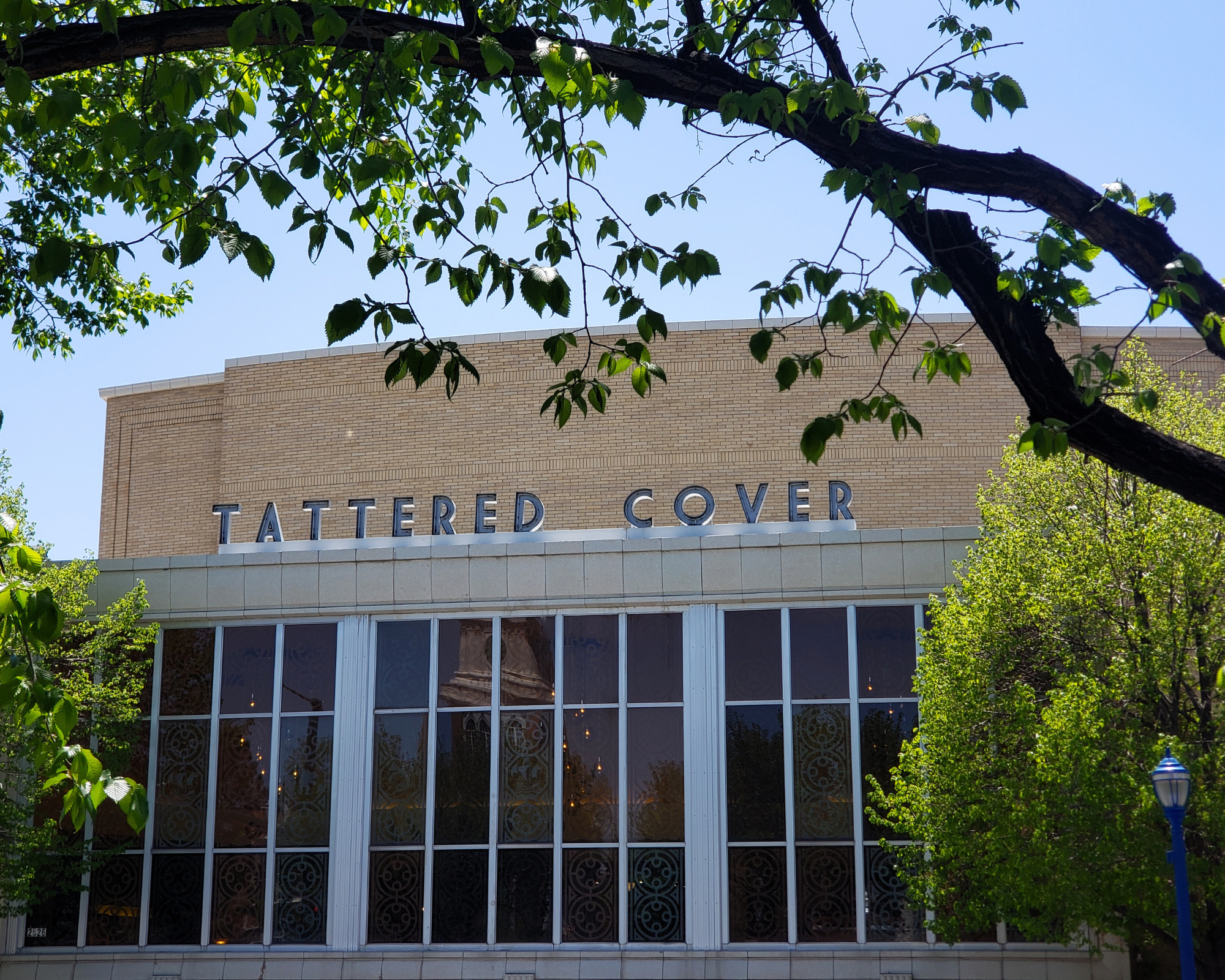
Colfax Ave.
2526 E Colfax Avenue
303-322-7727
Store Hours:
Mon-Sat: 10-8
Colfax Ave.
2526 E Colfax Avenue,
Denver, CO 80206
303-322-7727
Store Hours:
- Mon-Sat: 10-8
- Sunday: 10-6
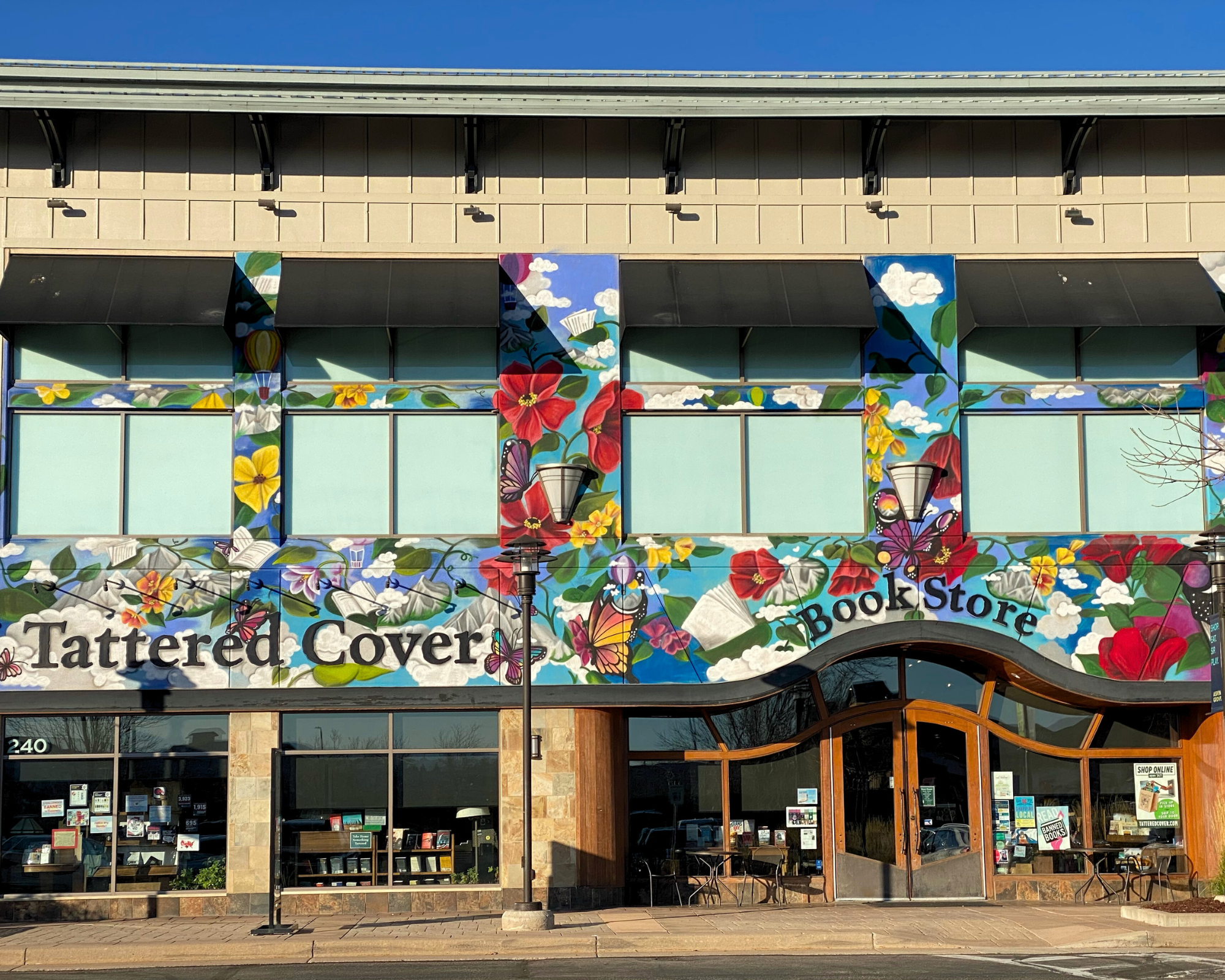
Aspen Grove
7301 South Santa Fe Drive,
Littleton, CO 80120
303-470-7050
Store Hours:
- Mon-Thu: 10-7
- Fri-Sat: 10-8
- Sunday: 11-6
Union Station
1701 Wynkoop Street in
Historic Lower Downtown Denver
303-535-9980
Store Hours:
- Every Day 8-8
Stanley Marketplace
2501 Dallas Street, Suite 144,
Aurora, CO 80010
212-697-3048
Store Hours:
- Every Day 10-7
After completing your reservation, you'll receive an email when your order is ready. Items will be held for 7 days before being returned to inventory. Payment will be due at pickup. By providing the information below you agree to Barnes & Noble's Privacy Policy which can be viewed here.
An error occurred while reserving your item. Please try again later.
Format: Hardcover
Shortlisted for the An Post Irish Book Awards History Book of the Year
Maps allow us to see how the world is organised spatially and show us relationships which cannot be understood from simply reading a text. This magnificent book highlights a vast selection of maps that range across the centuries and cover every part of the island, shedding light on the history and development of Ireland.
The themes are many and varied, from conquest and colonisation, the management of the landscape, natural resources, meeting the needs of tourists, transport, the growth of urban centres as well as exploring how others saw Ireland, and much more besides. Carefully selected by two noted map experts, this highly visual book tells the story of Ireland in a unique and stimulating way.
Choose options
New Releases


2526 E Colfax Avenue Denver, CO
7301 S Santa Fe Drive Littleton, CO
2501 Dallas St. Suite 144 Aurora, CO

1701 Wynkoop Street Denver, CO