
![Goat Rocks, Norse Peak and William O. Douglas Wilderness Areas [Gifford Pinchot, Mt. Baker-Snoqualmie, and Okanogan-Wenatchee National Forests]](http://www.tatteredcover.com/cdn/shop/files/9781566955065_p0.jpg?v=1771570344&width=455)
Goat Rocks, Norse Peak and William O. Douglas Wilderness Areas [Gifford Pinchot, Mt. Baker-Snoqualmie, and Okanogan-Wenatchee National Forests]
Thank You For Your Reservation
You will receive an email once your order is confirmed. Items will be held for 7 days before being returned to inventory.
Goat Rocks, Norse Peak and William O. Douglas Wilderness Areas [Gifford Pinchot, Mt. Baker-Snoqualmie, and Okanogan-Wenatchee National Forests]
Other Format
Prices may vary by store.
Select Store
Picking Up At:
Colfax Ave.
2526 E Colfax Avenue
303-322-7727
Store Hours:
Mon-Sat: 10-8
Colfax Ave.
2526 E Colfax Avenue,
Denver, CO 80206
303-322-7727
Store Hours:
- Mon-Sat: 10-8
- Sunday: 10-6
Aspen Grove
7301 South Santa Fe Drive,
Littleton, CO 80120
303-470-7050
Store Hours:
- Mon-Thu: 10-7
- Fri-Sat: 10-8
- Sunday: 11-6
Union Station
1701 Wynkoop Street in
Historic Lower Downtown Denver
303-535-9980
Store Hours:
- Every Day 8-8
Stanley Marketplace
2501 Dallas Street, Suite 144,
Aurora, CO 80010
212-697-3048
Store Hours:
- Every Day 10-7
After completing your reservation, you'll receive an email when your order is ready. Items will be held for 7 days before being returned to inventory. Payment will be due at pickup. By providing the information below you agree to Barnes & Noble's Privacy Policy which can be viewed here.
An error occurred while reserving your item. Please try again later.
Format: Other Format
National Geographic's Trails Illustrated map of Goat Rocks, Norse Peak, and William O. Douglas Wilderness Areas provides unmatched detail of this portion of the central Washington Cascade region to meet the needs of amateur and experienced outdoor enthusiasts alike.
- Created in partnership with local land management agencies, this expertly researched map features key areas of interest including Rimrock and Bumping lakes; Crystal Mountain Ski Area; Bumping and American rivers; Tatoosh Wilderness Area; and Chinook and White Pass Scenic Byways.
- Designed with a wide range of visitors in mind, this map features detailed and easy to read trails, accurate road network, plus park regulations and contact information for local agencies.
- Hundreds of miles of trails, including a portion of the Pacific Crest Trail, are included.
- These trails are clearly marked according to use, whether you're hiking, horseback riding, skiing, snowmobiling, or exploring by ATV or motorized vehicle.
Many recreation features are noted as well including campgrounds, trailheads, points of interest, sno-parks, boat launches, and interpretive trails. The map base includes contour lines and elevations for summits, passes and many lakes.
Every Trails Illustrated map is printed on "Backcountry Tough" waterproof, tear-resistant paper. A full UTM grid is printed on the map to aid with GPS navigation.
Other features found on this map include: American Ridge, Bumping Lake, Bumping River, Cle Elum, Cle Elum Lake, Cliffdell, Easton, Gifford Pinchot National Forest, Goat Rocks, Goose Prairie, Lester, Longmire, Packwood, Rimrock Lake, Roslyn, Spiral Butte, Tatoosh Range, White Pass.
- Map Scale = 1:75,000
- Sheet Size = 37.75" x 25.5"
- Folded Size = 4.25" x 9.25"
Choose options
New Releases












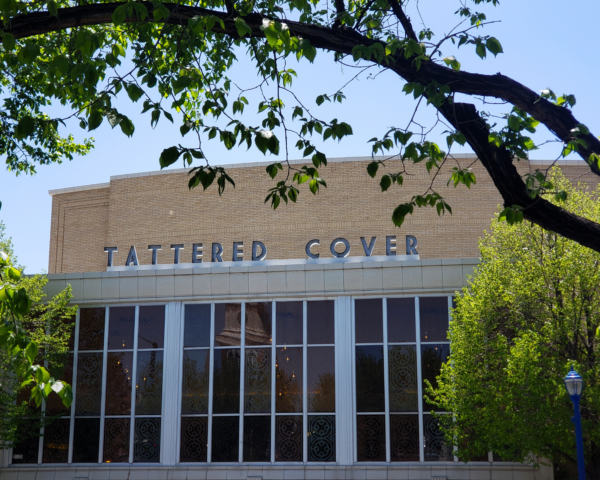
2526 E Colfax Avenue Denver, CO
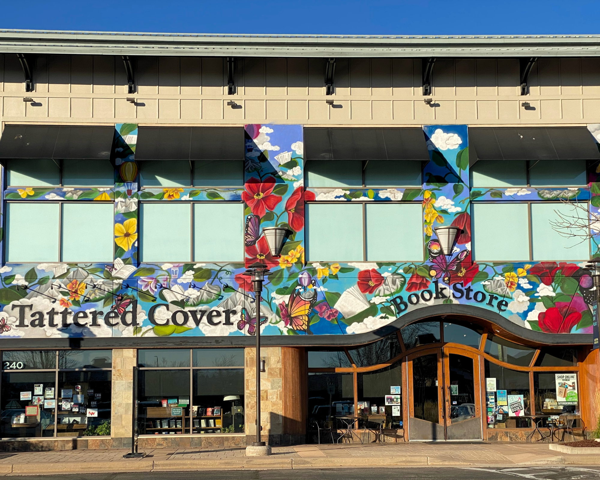
7301 S Santa Fe Drive Littleton, CO

2501 Dallas St. Suite 144 Aurora, CO

1701 Wynkoop Street Denver, CO