
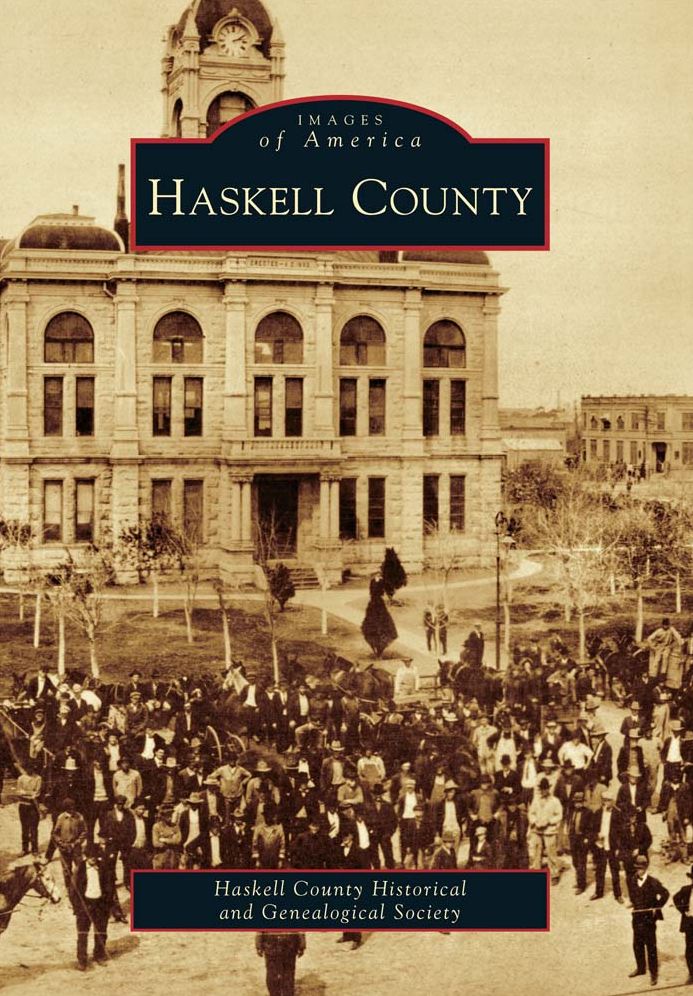
Haskell County
Thank You For Your Reservation
You will receive an email once your order is confirmed. Items will be held for 7 days before being returned to inventory.
Haskell County
Paperback
Prices may vary by store.
Select Store
Picking Up At:
Colfax Ave.
2526 E Colfax Avenue
303-322-7727
Store Hours:
Mon-Sat: 10-8
Colfax Ave.
2526 E Colfax Avenue,
Denver, CO 80206
303-322-7727
Store Hours:
- Mon-Sat: 10-8
- Sunday: 10-6
Aspen Grove
7301 South Santa Fe Drive,
Littleton, CO 80120
303-470-7050
Store Hours:
- Mon-Thu: 10-7
- Fri-Sat: 10-8
- Sunday: 11-6
Union Station
1701 Wynkoop Street in
Historic Lower Downtown Denver
303-535-9980
Store Hours:
- Every Day 8-8
Stanley Marketplace
2501 Dallas Street, Suite 144,
Aurora, CO 80010
212-697-3048
Store Hours:
- Every Day 10-7
After completing your reservation, you'll receive an email when your order is ready. Items will be held for 7 days before being returned to inventory. Payment will be due at pickup. By providing the information below you agree to Barnes & Noble's Privacy Policy which can be viewed here.
An error occurred while reserving your item. Please try again later.
Format: Paperback
Though the story of the land runs far back in time, Haskell County was first platted on the map of Texas on February 1, 1858. Its name honors Texas revolutionary soldier Charles Ready Haskell, who was martyred at Goliad. Cradled by two forks of the Brazos River, the county's open prairies were a favorite American Indian hunting ground. Stories of Spanish treasure buried along the river still linger. Gold seekers following Capt. Randolph Marcy's 1849 expeditionary trail camped on what came to be called California Creek, and Col. Ranald Mackenzie's trail through southern Haskell County was a key supply route for cavalry engaged in the Red River War. By the late 1870s, cattle replaced herds of buffalo, and ranching became the cornerstone of the economy. As news of this promising country traveled east, settlers arrived and established farms. In the words of historian R. E. Sherrill, "There was something about this country fresh from the hand of the Creator ? a kind of drawing power that was irresistible." Today, as a modern agricultural region, Haskell County continues to capture the heart of its people.
The Haskell County Historical and Genealogical Society is dedicated to preserving this heritage, and it has compiled over 200 images from its collection and from community members to record the county's history.
The Images of America series celebrates the history of neighborhoods, towns, and cities across the country. Using archival photographs, each title presents the distinctive stories from the past that shape the character of the community today. Arcadia is proud to play a part in the preservation of local heritage, making history available to all.
Choose options
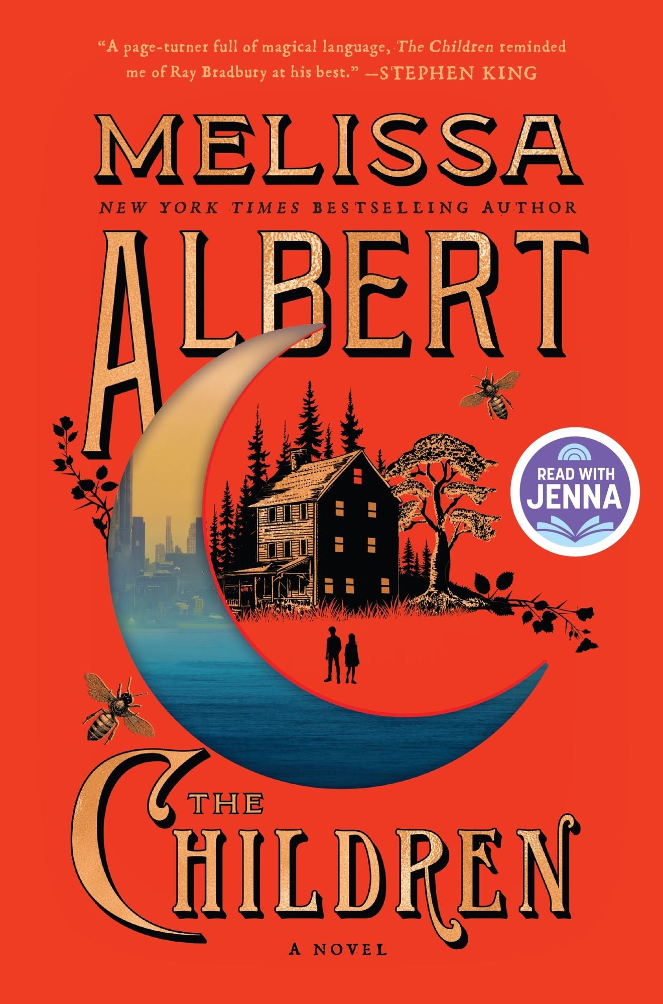
New Releases











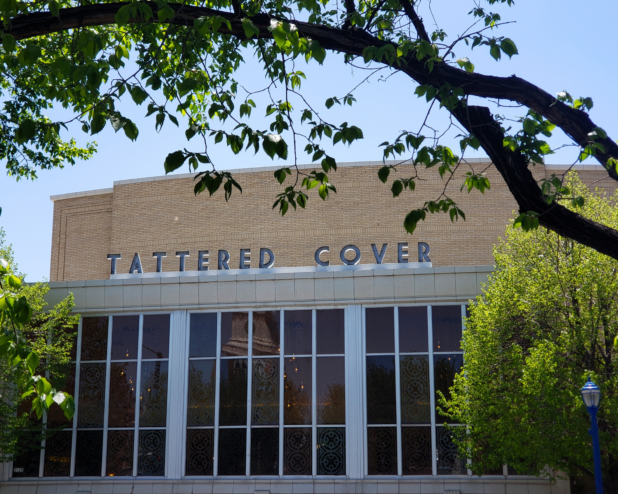
2526 E Colfax Avenue Denver, CO
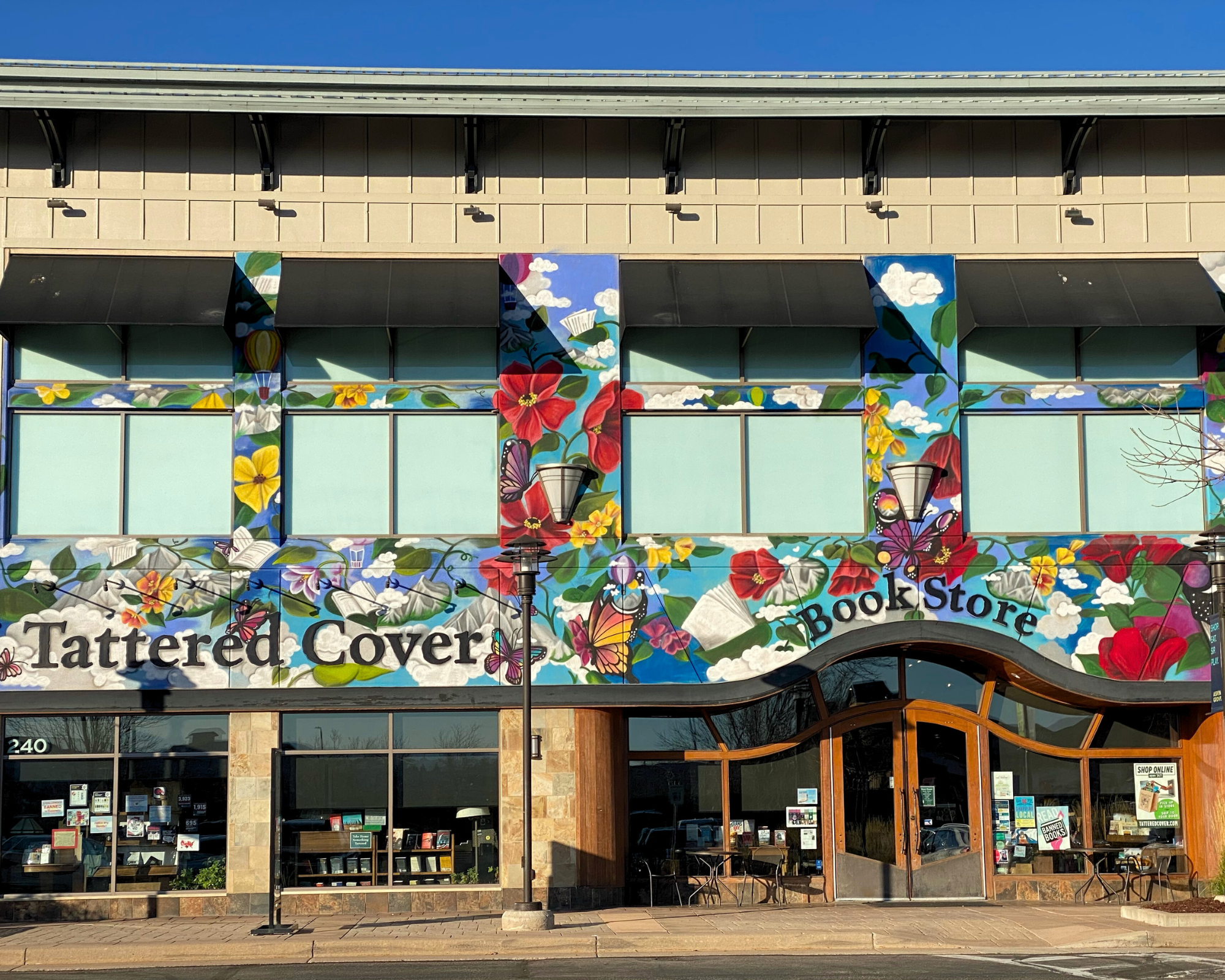
7301 S Santa Fe Drive Littleton, CO
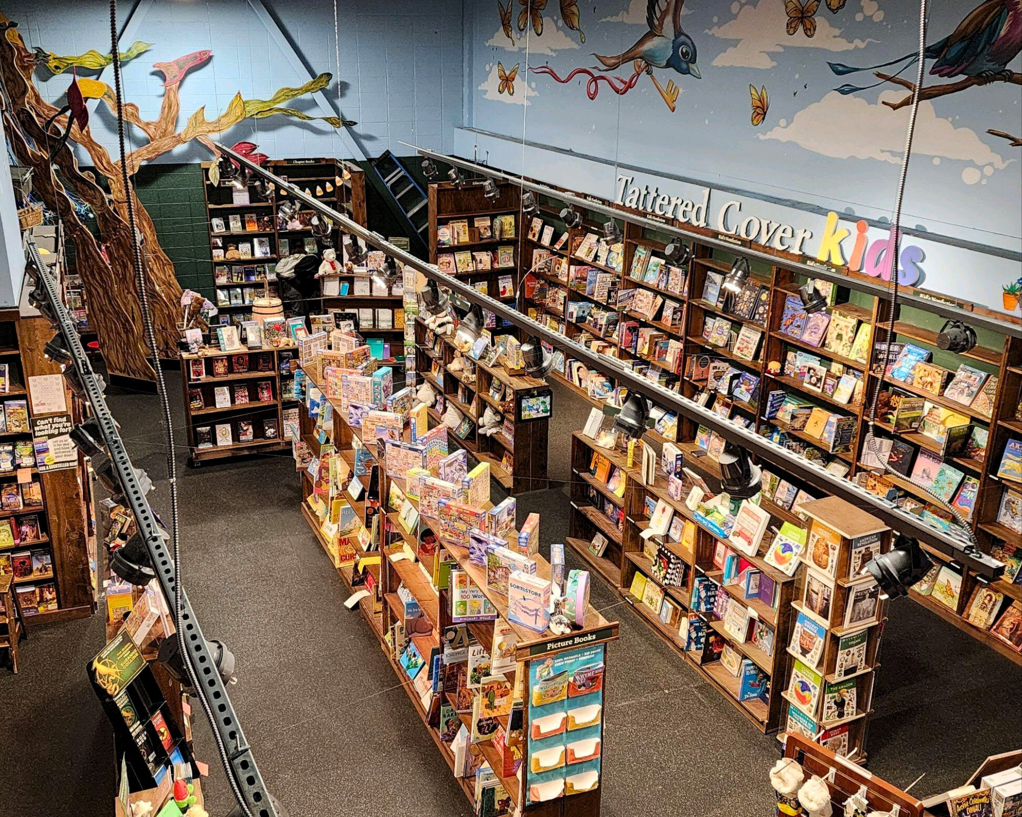
2501 Dallas St. Suite 144 Aurora, CO
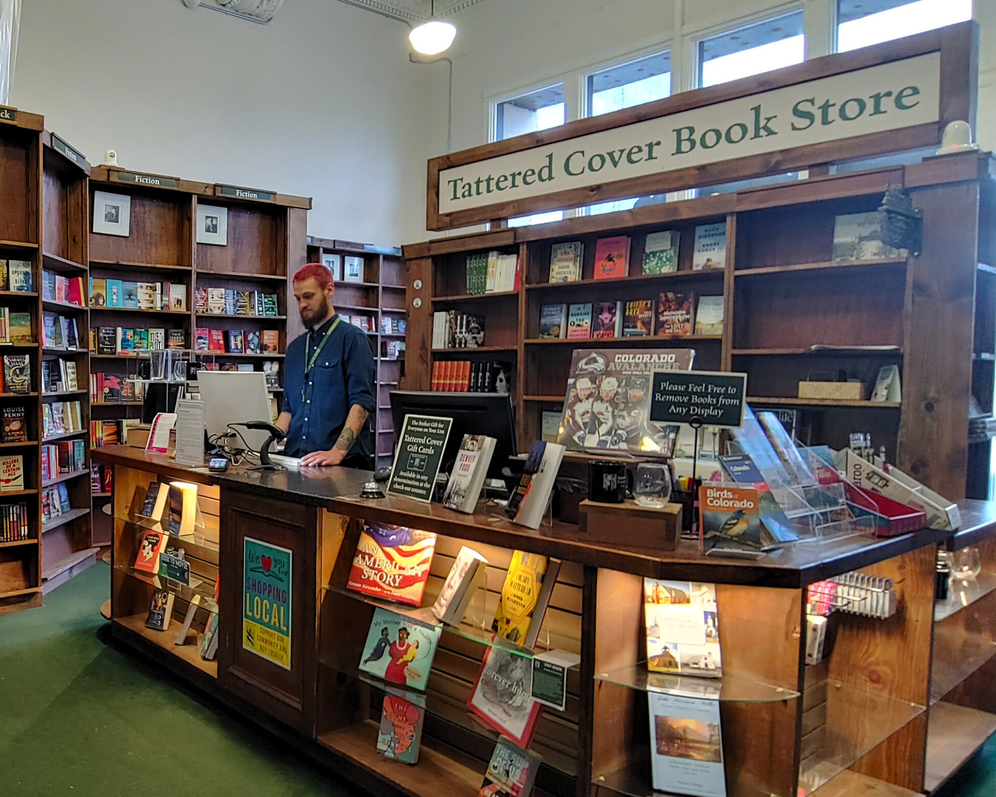
1701 Wynkoop Street Denver, CO