


A-Z Master Atlas of Greater London
Thank You For Your Reservation
You will receive an email once your order is confirmed. Items will be held for 7 days before being returned to inventory.
A-Z Master Atlas of Greater London
Paperback
Prices may vary by store.
Select Store
Picking Up At:
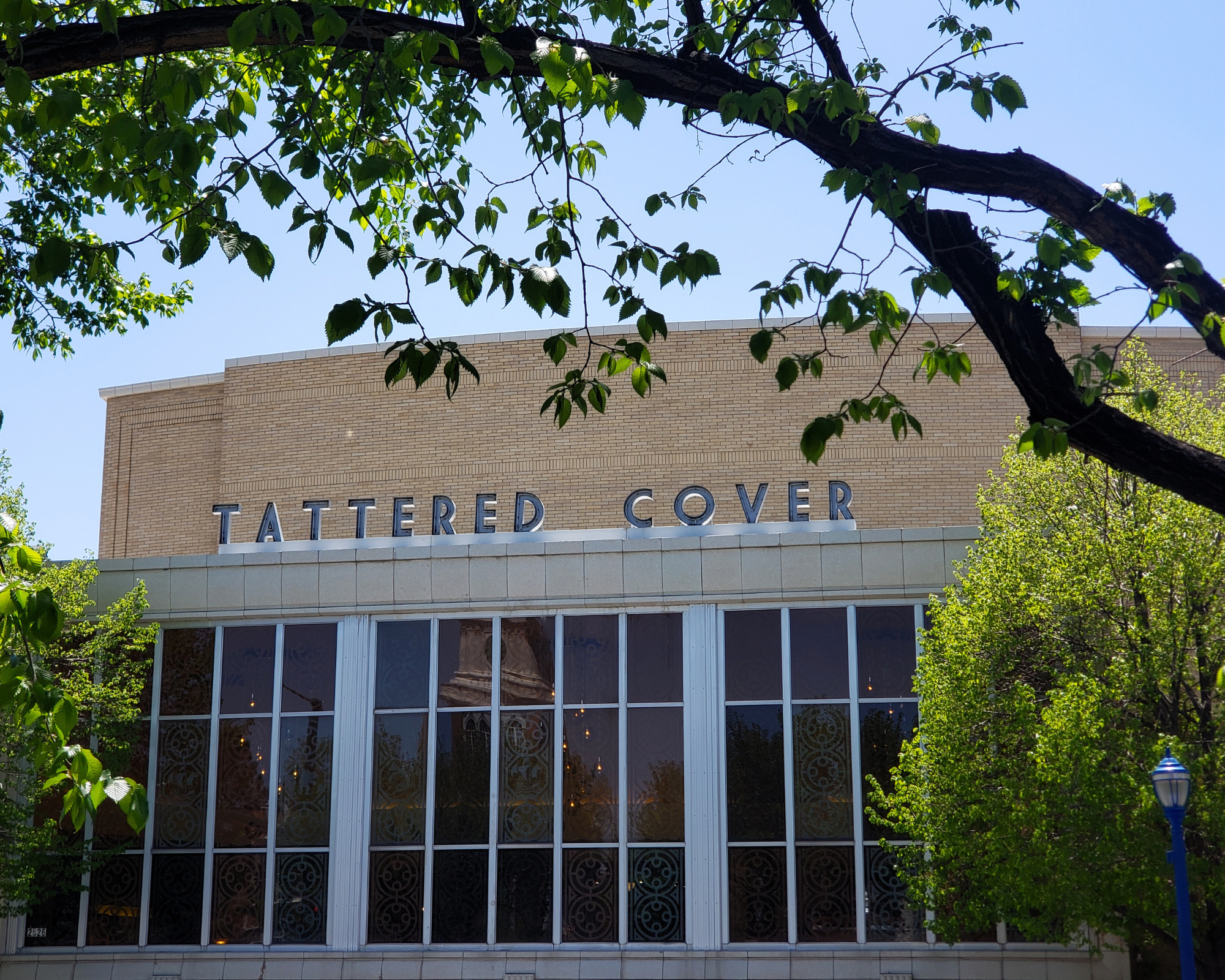
Colfax Ave.
2526 E Colfax Avenue
303-322-7727
Store Hours:
Mon-Sat: 10-8
Colfax Ave.
2526 E Colfax Avenue,
Denver, CO 80206
303-322-7727
Store Hours:
- Mon-Sat: 10-8
- Sunday: 10-6
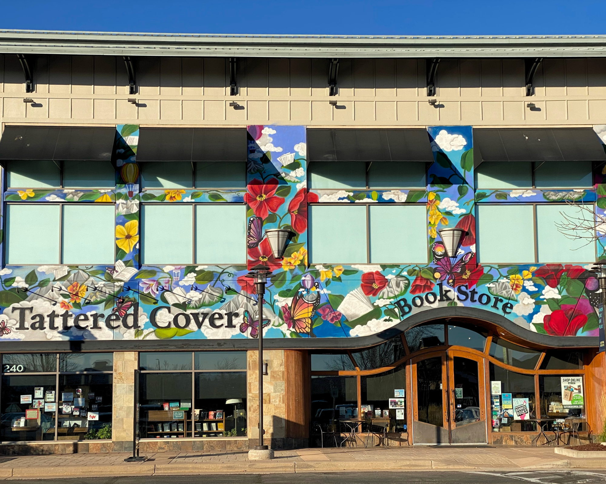
Aspen Grove
7301 South Santa Fe Drive,
Littleton, CO 80120
303-470-7050
Store Hours:
- Mon-Thu: 10-7
- Fri-Sat: 10-8
- Sunday: 11-6
Union Station
1701 Wynkoop Street in
Historic Lower Downtown Denver
303-535-9980
Store Hours:
- Every Day 8-8
Stanley Marketplace
2501 Dallas Street, Suite 144,
Aurora, CO 80010
212-697-3048
Store Hours:
- Every Day 10-7
After completing your reservation, you'll receive an email when your order is ready. Items will be held for 7 days before being returned to inventory. Payment will be due at pickup. By providing the information below you agree to Barnes & Noble's Privacy Policy which can be viewed here.
An error occurred while reserving your item. Please try again later.
Format: Paperback
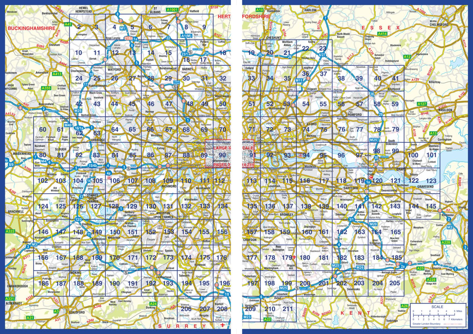
This comprehensive, paperback atlas encompasses an area of 1,450 square miles, including more than 90,000 streets and other addresses, and is trusted by local authorities, taxi drivers and emergency services.
The coverage extends beyond the Greater London and M25 area to: Hemel Hempstead, St. Albans, Potters Bar, Waltham Cross, Epping, Brentwood, Thurrock, Stanford-le-Hope, Gravesend, Wrotham, Sevenoaks, Westerham, Oxted, Redhill, Reigate, Leatherhead, Great Bookham, Woking, Egham, Windsor, Slough, Chalfont St. Peter, Chorleywood, Bovingdon
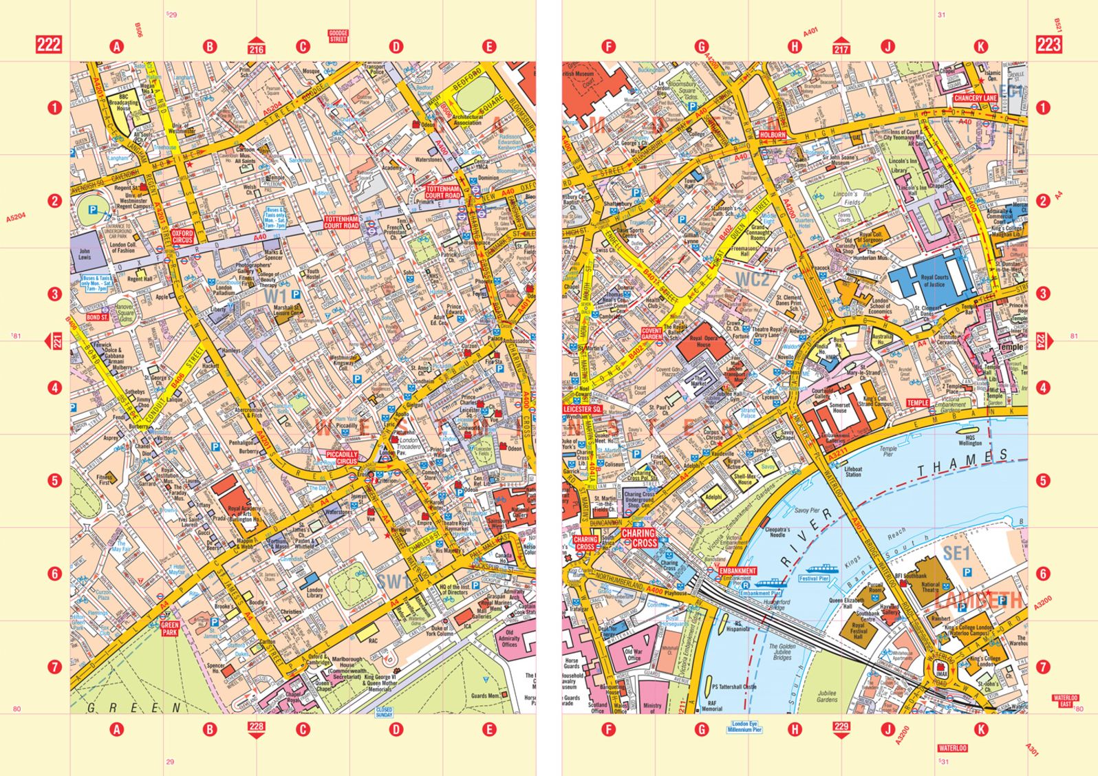
There are 18 pages of large scale (9" to 1 mile) street mapping of central London which gives additional clarity and detail, this mapping extends to: Regent's Park, St. Pancras International Station, Old Street, Tower Bridge, Bricklayer's Arms Junction, Vauxhall Bridge, South Kensington, Paddington Station and Lord's Cricket Ground.
Postcode districts and one-way streets are included on the street mapping.
Choose options
New Releases


2526 E Colfax Avenue Denver, CO
7301 S Santa Fe Drive Littleton, CO
2501 Dallas St. Suite 144 Aurora, CO
1701 Wynkoop Street Denver, CO