

Montana/Wyoming Easy to Read
Thank You For Your Reservation
You will receive an email once your order is confirmed. Items will be held for 7 days before being returned to inventory.
Select Store
Picking Up At:
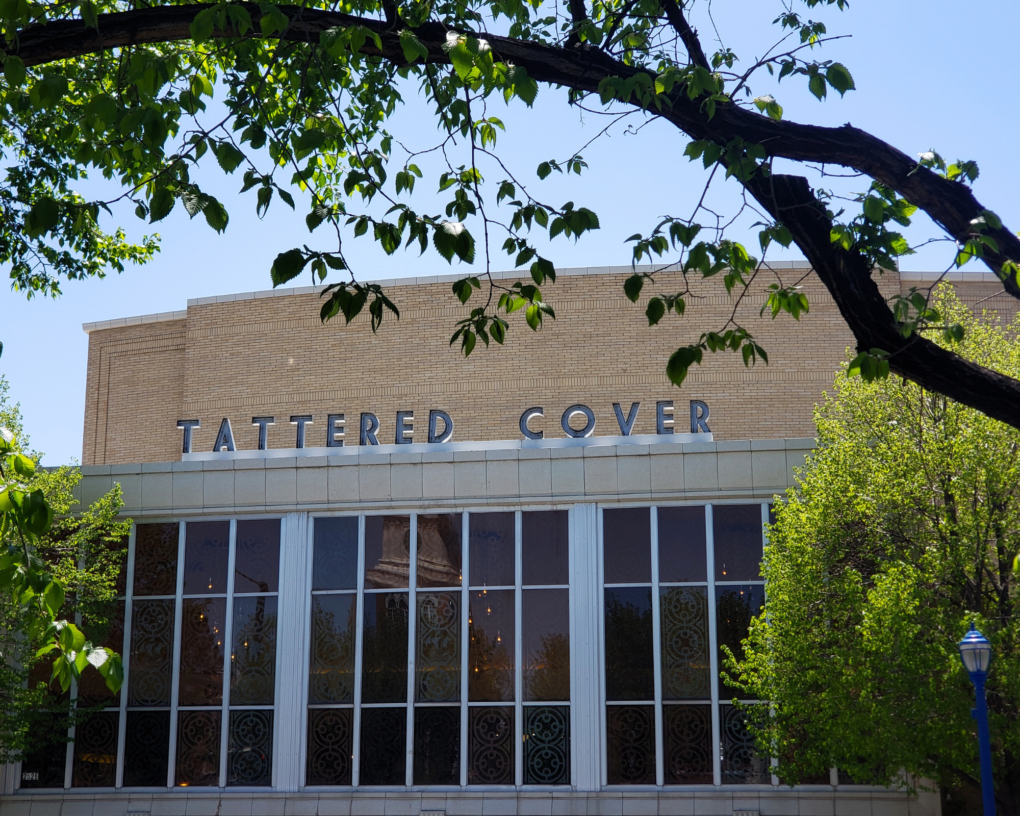
Colfax Ave.
2526 E Colfax Avenue
303-322-7727
Store Hours:
Mon-Sat: 10-8
Colfax Ave.
2526 E Colfax Avenue,
Denver, CO 80206
303-322-7727
Store Hours:
- Mon-Sat: 10-8
- Sunday: 10-6
Aspen Grove
7301 South Santa Fe Drive,
Littleton, CO 80120
303-470-7050
Store Hours:
- Mon-Thu: 10-7
- Fri-Sat: 10-8
- Sunday: 11-6
Union Station
1701 Wynkoop Street in
Historic Lower Downtown Denver
303-535-9980
Store Hours:
- Every Day 8-8
Stanley Marketplace
2501 Dallas Street, Suite 144,
Aurora, CO 80010
212-697-3048
Store Hours:
- Every Day 10-7
After completing your reservation, you'll receive an email when your order is ready. Items will be held for 7 days before being returned to inventory. Payment will be due at pickup. By providing the information below you agree to Barnes & Noble's Privacy Policy which can be viewed here.
An error occurred while reserving your item. Please try again later.
Format: Other Format
Choose options
New Releases









2526 E Colfax Avenue Denver, CO
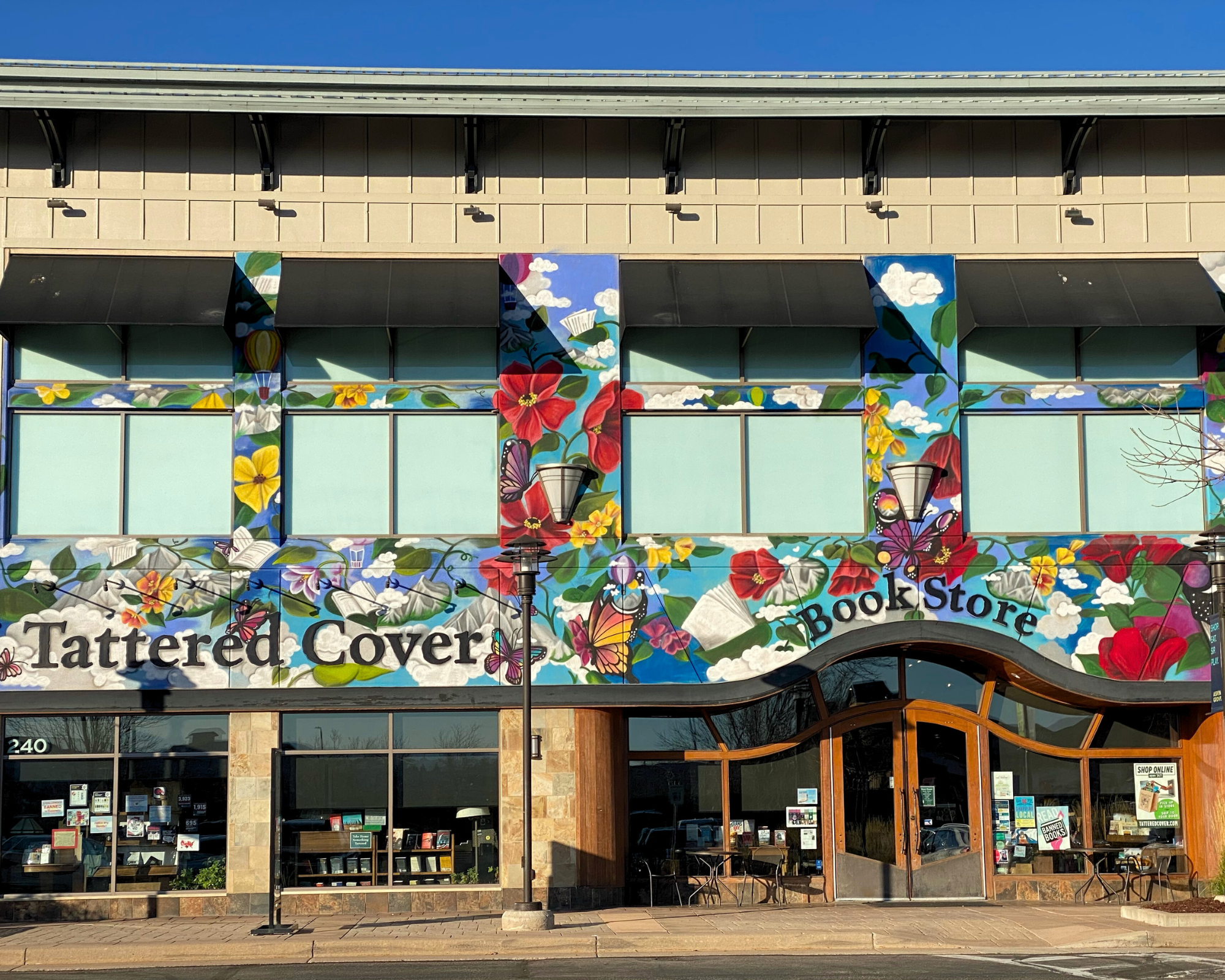
7301 S Santa Fe Drive Littleton, CO
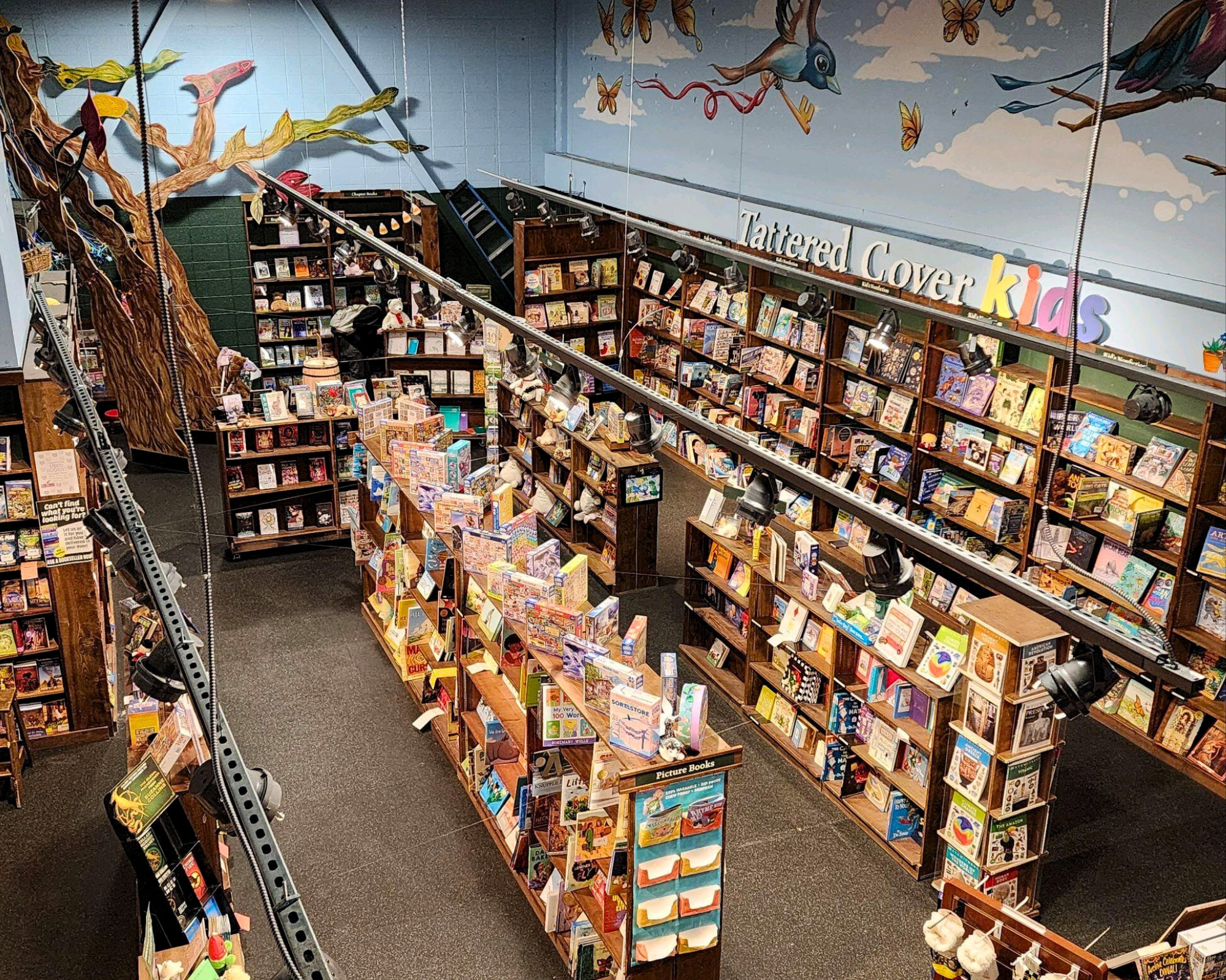
2501 Dallas St. Suite 144 Aurora, CO
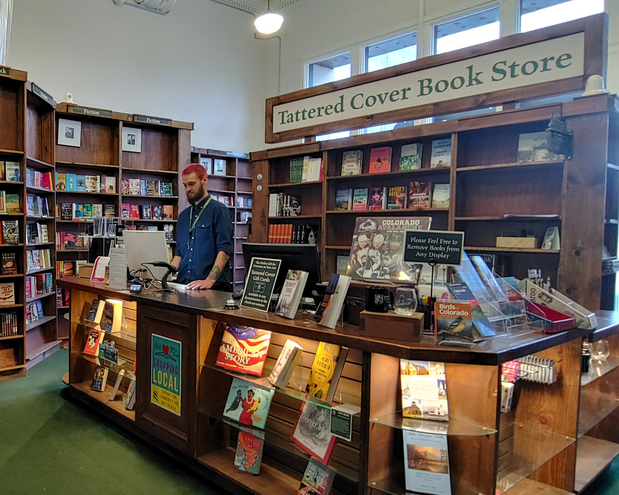
1701 Wynkoop Street Denver, CO